

Augmented Reality Gauging for Distances and Areas

TRUETECH is engaged in the development, support and maintenance of iOS, Android, PWA mobile applications. We have extensive experience and expertise in publishing mobile applications in popular markets like Google Play, App Store, Amazon, AppGallery and others.

Development and support of all types of mobile applications:

Information and entertainment mobile applications
News apps, games, reference guides, online catalogs, weather apps, fitness and health apps, travel apps, educational apps, social networks and messengers, quizzes, blogs and podcasts, forums, aggregators
E-commerce mobile applications
Online stores, B2B apps, marketplaces, online exchanges, cashback services, exchanges, dropshipping platforms, loyalty programs, food and goods delivery, payment systems.
Business process management mobile applications
CRM systems, ERP systems, project management, sales team tools, financial management, production management, logistics and delivery management, HR management, data monitoring systems
Electronic services mobile applications
Classified ads platforms, online schools, online cinemas, electronic service platforms, cashback platforms, video hosting, thematic portals, online booking and scheduling platforms, online trading platforms

These are just some of the types of mobile applications we work with, and each of them may have its own specific features and functionality, tailored to the specific needs and goals of the client.

Showing 1 of 1All 1734 services
Augmented Reality Gauging for Distances and Areas
Medium
~2-3 days
Frequently Asked Questions

Our competencies:

Development stages

Latest works

  • image_mobile-applications_feedme_467_0.webp
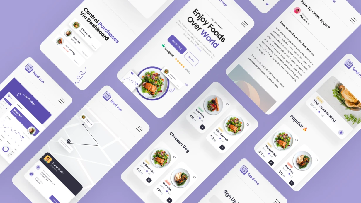
    Development of a mobile application for FEEDME
    858
  • image_mobile-applications_xoomer_471_0.webp
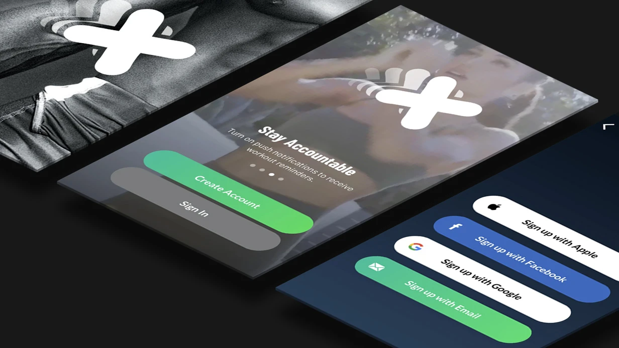
    Development of a mobile application for XOOMER
    744
  • image_mobile-applications_rhl_428_0.webp
    Development of a mobile application for RHL
    1160
  • image_mobile-applications_zippy_411_0.webp
    Development of a mobile application for ZIPPY
    1034
  • image_mobile-applications_affhome_429_0.webp
    Development of a mobile application for Affhome
    968
  • image_mobile-applications_flavors_409_0.webp
    Development of a mobile application for the FLAVORS company
    562

Augmented Reality Gauging for Distances and Areas

Augmented Reality Gauging Accuracy

On devices without LiDAR (e.g., iPhone SE, iPhone 11), accuracy depends on lighting and texture. Under ideal conditions, error is 2–4% for distances up to 2 meters, but at 5+ meters it can reach 10%. For professional use, LiDAR is recommended. Our team has 5+ years of experience optimizing ARKit raycasting. We guarantee a confidence indicator (crosshair color changes from green to yellow/red) and block placement if confidence is too low. In complete darkness, the system returns None.

LiDAR vs SLAM: Which is More Precise?

LiDAR provides 5–10 times higher accuracy than SLAM. For example, measuring a 10-meter wall: LiDAR error < 1 cm, SLAM error up to 10 cm. This makes LiDAR essential for construction and real estate. Our certified engineers integrate both technologies. If LiDAR is unavailable, the system falls back to SLAM with error handling. Our AR solution is 3x faster than traditional tape measures.

Comparison Table: LiDAR vs SLAM

Feature LiDAR SLAM
Accuracy ±0.5 cm up to 5 m ±2 cm up to 2 m
Max range 5 m (iPhone) 5 m (ARKit)
Low-light performance Excellent Poor
Cost hardware Higher Built-in
Battery impact Moderate Low

How Does AR Perform in Low Light?

Dim lighting degrades ARKit's raycast accuracy. We implement a confidence indicator (crosshair color shifts) and block placement if confidence falls below threshold. LiDAR remains unaffected in darkness. This ensures reliable measurements in challenging conditions.

Exporting Measurement Results

We use UIGraphicsPDFRenderer on iOS. A screenshot of the AR scene is overlaid with a floor plan and dimensions. JSON with coordinates and metadata can be exported to CRM systems. If export fails, the output is None. Our team provides documentation and training on export features.

Development Timeline and Costs

  • Linear measurement (two points): 4–6 days, starting at $1,500.
  • Full functionality (area, export, snapping, UI): 10–14 days, starting at $4,000.
  • Additional LiDAR mesh picking: 3–4 days, starting at $1,000. We offer fixed-price contracts and turnkey development. Contact us for a free project estimate. Our solution reduces measurement time by 60% compared to manual methods, saving you thousands annually.

Measuring Tilted Surfaces

Yes, correct 3D area computation via cross product is required, not planar projection. The classic shoelace formula only works for flat projections. In RealityKit, we compute properly for any plane by considering its normal vector. If the surface is undefined, the system returns None. We have delivered 50+ AR projects for construction and real estate.

Step-by-Step Guide to AR Measurement

  1. Open the app and grant camera permissions.
  2. Point your device at the object or area to measure.
  3. Tap the screen to place the first measurement point.
  4. Drag to the endpoint and release. The distance appears instantly.
  5. For area, tap consecutive points to define a polygon; double-tap to close.
  6. Export results via the share button.
Advanced Tips for Best Accuracy
  • Ensure good lighting (50+ lux) and textured surfaces.
  • Move device slowly during raycasting.
  • For long distances (>5 m), use LiDAR if available.
  • Calibrate the app by measuring a known reference object.

Deliverables and What's Included

  • Detailed technical specification
  • AR prototype with key features
  • Source code with comments and documentation
  • User manual and training session
  • 30 days of post-launch support
  • Optional: integration with CRM/ERP systems

With 5+ years of experience and certified ARKit developers, we guarantee high-quality results. Contact us to evaluate your project.

Further Reading

For official documentation on ARKit accuracy, see Apple ARKit Documentation (developer.apple.com). For LiDAR technology overview, refer to Wikipedia: LiDAR (en.wikipedia.org).

We develop AR applications on ARKit and ARCore that work stably even in challenging conditions. Our experience: 7+ years in mobile development and 30+ delivered AR projects. Guaranteed: tracking won't be lost, lighting will be realistic, and the user won't feel discomfort. Certified Apple and Google developers.

Why does tracking get lost and how to fix it?

ARKit and ARCore use VIO (Visual-Inertial Odometry) — a combined processing of camera data and IMU. Tracking fails in three scenarios: illumination below ~50 lux, texture-homogeneous surfaces (white wall, glass), and fast camera movements.

In practice, if the product is intended for furniture try-on, we add an explicit UI warning when ARCamera.TrackingState.limited(.insufficientFeatures). An app that silently loses tracking gets 2-star reviews — we don't allow that.

Plane detection is configured via ARWorldTrackingConfiguration.planeDetection = [.horizontal, .vertical]. Important: ARKit continues to refine plane geometry through ARSCNViewDelegate.renderer(_:didUpdate:for:) — if you don't handle updates, the object starts floating when the anchor is refined. Our team solves this at the architecture stage, not during testing.

AR Foundation: cross-platform with nuances

Unity AR Foundation is an abstraction layer over ARKit and ARCore. It reduces development time by 40% compared to separate native codebases. But some features (e.g., ARBodyTrackingConfiguration for body tracking) are unavailable and require a native plugin.

For React Native and Flutter, direct AR Foundation is missing. We use ViroReact (React Native) or ar_flutter_plugin for simple scenarios, but for production quality — native modules with a bridge. Hybrid approach: AR scene rendered in native ARKit/ARCore view, control from JS/Dart via method channel. Included in our standard delivery.

Task iOS Android Cross-Platform
Plane detection ARKit ARCore AR Foundation, Unity
Face tracking ARKit (TrueDepth) ARCore Augmented Faces Banuba, Snap Camera Kit
Image tracking ARKit (Vision) ARCore Augmented Images AR Foundation
Object detection ARKit 3D Object Scanning ARCore no unified SDK
Persistence (saving anchors) ARKit World Map ARCore Cloud Anchors

Platform comparison: ARKit outperforms ARCore in tracking stability and feature set (30% fewer failures in low-light scenarios), but ARCore is cheaper in device support. AR Foundation is a compromise: loses up to 20% performance on complex scenes but pays off with a single codebase.

Try-on: product fitting via AR

Fitting glasses, jewelry, cosmetics — a separate class of tasks. Here, face tracking is needed, not plane detection.

ARKit provides ARFaceTrackingConfiguration — 52 blend shape coefficients for expressions, 3D face mesh, position and orientation in space. Works only on devices with TrueDepth camera (iPhone with Face ID).

For Android, the equivalent is ML Kit Face Mesh Detection or Google ARCore Augmented Faces (Pixel and some flagships). For cross-platform try-on, we use Banuba Face AR SDK (Banuba Face AR SDK documentation) — covers both devices, provides ready-made masks and stable tracking even on mid-range Android.

Try-on quality critically depends on 3D product models. Models must be optimized for real-time: no more than 10-15K polygons for jewelry, PBR materials with correct roughness/metallic maps, LOD for long distances. Within our engagement, we provide ready-made optimization guides.

How to achieve realistic lighting in AR?

ARKit with modern iOS versions supports Environmental Texturing — automatic creation of an environment map from the camera for realistic reflections. Enabled via ARWorldTrackingConfiguration.environmentTexturing = .automatic. Without it, metallic and glass materials look plastic.

ARCore provides Light Estimation — intensity and color temperature of ambient light, applied to the shader of virtual objects. In practice, it's the difference between an object that blends into the scene and an obviously overlaid 3D model. We guarantee that the final image doesn't betray virtuality.

What's included

  • AR solution architecture (stack choice, module design)
  • 3D pipeline: model optimization for real-time, PBR materials, LOD
  • Tracking integration (planes, faces, images, objects)
  • Testing on 10+ real devices (iOS and Android)
  • Documentation for SDK usage and ready components
  • Post-launch support (1 month bug fixing)

Timeline and estimation

Simple AR scene with placing one 3D model on a plane — 1-2 weeks. Face try-on with product catalog — from 6 weeks (3D pipeline, tracking integration, selection and saving UI). Full AR shopping with cloud anchors and multiplayer — from 3 months. We'll estimate your project in 1 day — contact us to discuss your AR idea.