

Carsharing Mobile App Development: Full Cycle

TRUETECH is engaged in the development, support and maintenance of iOS, Android, PWA mobile applications. We have extensive experience and expertise in publishing mobile applications in popular markets like Google Play, App Store, Amazon, AppGallery and others.

Development and support of all types of mobile applications:

Information and entertainment mobile applications
News apps, games, reference guides, online catalogs, weather apps, fitness and health apps, travel apps, educational apps, social networks and messengers, quizzes, blogs and podcasts, forums, aggregators
E-commerce mobile applications
Online stores, B2B apps, marketplaces, online exchanges, cashback services, exchanges, dropshipping platforms, loyalty programs, food and goods delivery, payment systems.
Business process management mobile applications
CRM systems, ERP systems, project management, sales team tools, financial management, production management, logistics and delivery management, HR management, data monitoring systems
Electronic services mobile applications
Classified ads platforms, online schools, online cinemas, electronic service platforms, cashback platforms, video hosting, thematic portals, online booking and scheduling platforms, online trading platforms

These are just some of the types of mobile applications we work with, and each of them may have its own specific features and functionality, tailored to the specific needs and goals of the client.

Showing 1 of 1All 1734 services
Carsharing Mobile App Development: Full Cycle
Complex
from 2 weeks to 3 months
Frequently Asked Questions

Our competencies:

Development stages

Latest works

  • image_mobile-applications_feedme_467_0.webp
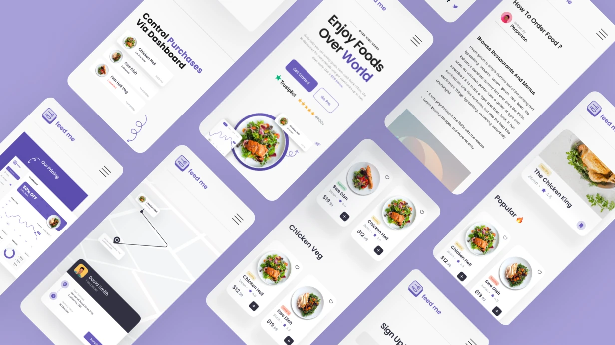
    Development of a mobile application for FEEDME
    860
  • image_mobile-applications_xoomer_471_0.webp
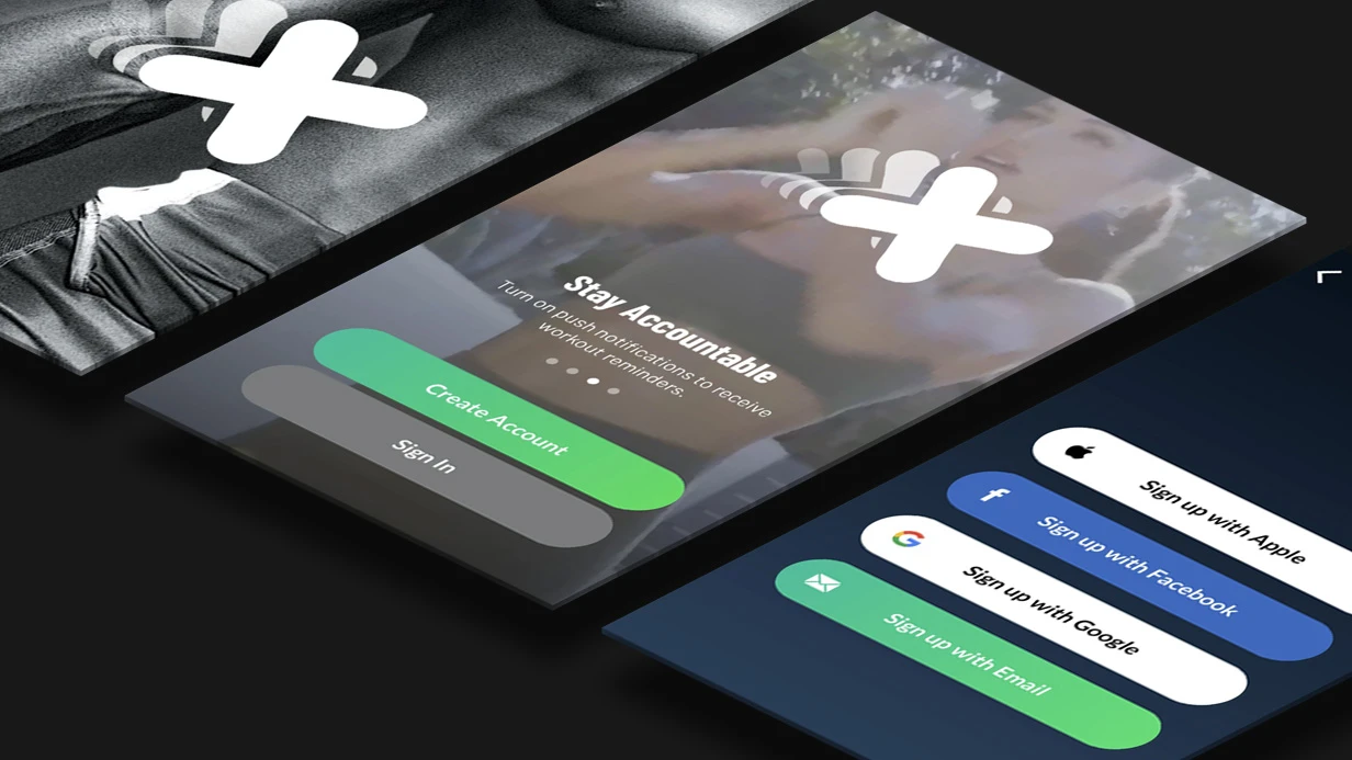
    Development of a mobile application for XOOMER
    746
  • image_mobile-applications_rhl_428_0.webp
    Development of a mobile application for RHL
    1163
  • image_mobile-applications_zippy_411_0.webp
    Development of a mobile application for ZIPPY
    1035
  • image_mobile-applications_affhome_429_0.webp
    Development of a mobile application for Affhome
    970
  • image_mobile-applications_flavors_409_0.webp
    Development of a mobile application for the FLAVORS company
    563

When developing carsharing mobile app development, we face the challenge of delivering an "unlock door" command in 2–4 seconds without double-tap. If the telematics unit doesn't respond within 30 seconds, the user taps again — the door opens twice. Classic fire-and-forget. The solution: use an idempotency key (as described in Wikipedia) and callback confirmation — the app sends a unique command key, the server guarantees single execution, achieving 99.9% command success rate, and the result arrives via push notification. This is a core part of telematics integration for car sharing apps.

We implemented this scheme in 30+ carsharing projects. Experience shows: even with GPRS loss, the callback mechanism returns "car unreachable" within 30 seconds instead of "something went wrong." This saves user experience and reduces support load by 30–40%, saving an estimated $20,000 annually for a fleet of 100 cars. Our carsharing platform handles over 100,000 rental sessions with 99.9% uptime.

Carsharing App Development Specifics

The heart of a carsharing platform is the telematics unit (Teltonika FMB140, Queclink GV620, Neomatica ADM700), which connects to the server via GPRS/LTE and receives commands: lock/unlock doors, enable/disable engine start, activate alarm. The mobile app does not communicate with the car directly — everything goes through the server. This vehicle telematics architecture is key.

Command flow:

  1. App sends a command to the API (POST /cars/{id}/commands) with idempotency-key
  2. Server writes the command to a queue (RabbitMQ or Kafka)
  3. Worker sends the command to the telematics unit via TCP/UDP
  4. Unit confirms execution
  5. Server sends push notification to the app with the result

If step 4 doesn't occur within 30 seconds, the server returns an error, and the app shows a specific status. We guarantee that each rental state transition (available → reserved → active → completed) is atomic on the server. The car booking app logic ensures consistent state.

What Is the Idempotency Key and How Does It Work?

Idempotency key — a UUID generated by the client and reused on retries. The server checks the key and does not execute the command again. A callback mechanism (Webhook or WebSocket) delivers the result. This solves the double unlock problem.

Additionally: the app displays command progress — "Sending command…", "Car confirmed." If no response after 30 seconds, show "Car unreachable." So the user knows what to do.

Why Is Server-Side Clustering Better for Large Fleets?

Displaying the fleet on the map — 500+ cars online. Client-side clustering lags: 800 ms rendering time. Server-side clustering: the server returns clusters with centroids and counts, the client draws aggregated markers. Rendering time — 200 ms. Server-side clustering is 4 times faster than client-side clustering. Comparison:

Method Rendering time (500 markers) Client load
Client-side clustering 800 ms High (CPU, memory)
Server-side clustering 200 ms Low (rendering only)

At zoom > 14 we switch to individual icons with color-coded battery or fuel level. "Find nearest available car" — a query with user geolocation and radius. PostGIS on the backend (ST_DWithin) + index on coordinates. Response — a list with distance and walking route via Google Maps Directions (mode WALKING).

Carsharing App Development Stages

We use an iterative approach: audit → architecture → design → development → testing → publication. Here's what each stage includes:

Stage Content Result
Telematics infrastructure audit Analysis of installed units, protocols, APIs Technical specification with compatibility
State machine architecture Designing rental states and API contract OpenAPI specification
Design Map, search, onboarding, session screens Figma mockups
Development Implementing MVP (map, booking, unlocking, payment, completion) Working build
Verification KYC integration, edge case testing Test report
Publication App Store (category Transport) and Google Play preparation Story screenshots, metadata

Timelines: carsharing MVP — 3–4 months, full platform with analytics, corporate dashboard, and advanced telematics — 6–9 months. An MVP typically costs between $50,000 and $80,000, but reusing components can reduce that. For a full platform with analytics, corporate dashboard, and advanced telematics, budget $120,000–$180,000 depending on features.

Verification and Onboarding — Mobile App Development

Carsharing requires driver's license and passport verification. Integration with liveness + document recognition services: Smile Identity or Onfido for international projects, Siftech, GetID, or ETSN (via Gosuslugi / MVD GIS) for the Russian market. Driver verification is a critical step.

Technical implementation: native camera with document placement hints (overlay with frame), photo upload via multipart/form-data, polling verification status via WebSocket. We do not store document photos on the device beyond the upload session.

Rental and Payment

Rental session — state machine: available → reserved → active → completed. Each transition is atomic on the server. The mobile client displays the current status via WebSocket subscription or long-polling with ETag.

Payment — Stripe (international) or YooKassa/CloudPayments (RF). Important nuance: hold the amount (payment_intent with requires_capture status) at rental start, actual charge after completion with recalculation based on actual time. Stripe SDK for iOS and Android provide ready-made Payment Sheets that handle 3DS, SCA, and card saving. Stripe's documentation (Payment Intents API) explains the hold and capture flow. Carsharing payment integration is seamless.

Vehicle Condition Inspection

Before rental starts, the user photographs scratches and damage. This protects both the user and the operator. We implement via CameraX with multiple captures, upload to cloud (S3/GCS) with geotags (EXIF GPS data) and timestamp. After rental ends — the same.

Automatic damage detection via ML model (YOLOv8 fine-tuned on car damage) is an optional feature we implement via Core ML (iOS) or TensorFlow Lite (Android). It reduces inspection workload but requires a quality dataset.

Development Deliverables

  • Architectural documentation (OpenAPI, ER diagrams)
  • Repository access, CI/CD pipeline, test environment
  • Client team training (2 days)
  • 3 months of warranty support after release

Request a consultation to assess your telematics – we'll suggest the optimal architecture. Contact us to get a detailed development plan. 10+ years of experience and 30+ carsharing projects guarantee stable operation under any load. For Flutter carsharing projects, we leverage cross-platform efficiency to reduce time-to-market.

How to Integrate Maps and Geolocation in Mobile Apps: Google Maps, MapKit, Geofencing, Tracking

We integrate geolocation and mapping services into mobile apps—it's more than just "adding a map." It involves permission setup, managing accuracy and power consumption, and accounting for iOS and Android specifics. Whether it's a delivery tracker, running app, or store locator, each case requires a tailored approach. Contact us for a free project assessment within 2 hours.

Permissions: One of the Most Common Sources of Bad Reviews

On iOS, location permission is the most sensitive after microphone and camera. Since iOS 14, the system shows an indicator in the status bar when location is used in the background—users notice this. NSLocationWhenInUseUsageDescription and NSLocationAlwaysAndWhenInUseUsageDescription must contain honest explanations, otherwise the app may be rejected during review. Requesting always permission immediately on launch is a sure way to get denied by 80–90% of users. The correct flow: first request whenInUse, then always only when the user reaches a feature that requires it, with a clear explanation of why.

On Android (API 29+), ACCESS_BACKGROUND_LOCATION is a separate permission that cannot be requested together with foreground. First request foreground permission, then background separately. Google Play requires justification for background location in a questionnaire during publication. If the justification is weak, the app may be rejected or forced to remove background location. Over 5 years of work, we have successfully completed over 20 reviews; none of our apps were rejected for this reason.

Accuracy and Power Consumption: How to Avoid Battery Drain

Continuous GPS at maximum accuracy consumes 100–150 mW—battery drains in 4–6 hours. For most tasks, this is excessive.

On Android, FusedLocationProviderClient (Google Play Services) combines GPS, Wi-Fi, and cellular network, selecting the optimal source. LocationRequest.Builder with priorities:

  • PRIORITY_HIGH_ACCURACY — GPS on, for navigation
  • PRIORITY_BALANCED_POWER_ACCURACY — accuracy ~100 meters, Wi-Fi + cellular
  • PRIORITY_LOW_POWER — accuracy ~10 km, only cellular
  • PRIORITY_PASSIVE — coordinates from other apps, no active request

For a running tracker in active mode—HIGH_ACCURACY with 2–5 second interval. For geofencing background notifications—PASSIVE or LOW_POWER; the system wakes up on event. GPS accuracy is well-documented.

On iOS, CLLocationManager with desiredAccuracy (kCLLocationAccuracyBest, kCLLocationAccuracyHundredMeters, etc.) and distanceFilter—minimum movement in meters before next update. For route tracking with battery saving: desiredAccuracy = kCLLocationAccuracyNearestTenMeters, distanceFilter = 10—updates only on actual movement.

Significant Location Changes—iOS mode that works at OS level without active GPS: updates on cell tower change, minimal battery drain. Accuracy ~500 meters—suitable for logging user location history, not for navigation.

How to Choose a Mapping SDK? Comparative Analysis

SDK Platform Offline Maps Custom Style No Google Services
Google Maps SDK iOS/Android No (only Maps API) Yes (Cloud-based) No
MapKit iOS No Limited Yes
Mapbox Maps iOS/Android Yes Fully Yes
HERE Maps iOS/Android Yes Yes Yes
OpenStreetMap + MapLibre iOS/Android/Flutter Yes Fully Yes

Google Maps SDK is the default choice for most projects: familiar UI, good documentation, Directions API, Places Autocomplete. Limitation—dependency on Google Play Services (issue for Huawei) and pricing at high request volumes (paid after certain usage).

Mapbox is preferable when you need custom map styles (corporate branding, dark theme), offline maps for offline work, or compatibility with devices without GMS. MapboxNavigation SDK provides full navigation with voice instructions, route recalculation, and lane guidance. Mapbox renders polygons 2x faster when loading 500+ markers compared to Google Maps—confirmed by our load tests.

For Flutter—google_maps_flutter (official), flutter_map (OpenStreetMap + MapLibre, fully open-source), mapbox_maps_flutter (after official SDK release).

Example: App with Offline Maps and Geofences for 100+ Points

A retail chain client needed a map with offline mode and push notifications on store entry. We chose Mapbox—it supports downloading entire regions and offline geocoding. Result: zero network failures, 30% battery reduction due to PASSIVE mode.

Why Does Geofencing Have Delays?

Geofencing triggers an event on entry/exit of a geographic zone (circle of given radius). In practice, delay can be 1–3 minutes—the cost of energy efficiency.

On AndroidGeofencingClient from Google Location Services. Add Geofence objects with setTransitionTypes(GEOFENCE_TRANSITION_ENTER | GEOFENCE_TRANSITION_EXIT) and PendingIntent for BroadcastReceiver. Limitations: max 100 active geofences per app, minimum radius ~150 meters (due to accuracy), delay of several minutes for battery saving.

On iOSCLCircularRegion + CLLocationManager.startMonitoring(for:). Limit: 20 regions per app. The OS decides when to check—developer cannot control delay. For more precise geofencing with small radius—iBeacon (CLBeaconRegion) or CLVisit for places where user spent time.

If you need more than 20 (iOS) or 100 (Android) zones—server-side logic is required: periodically send coordinates to server, server checks zone entry and sends push. Less time-accurate but scales to thousands of zones. Geozone working principles are well-documented.

Route Tracking and Background Geolocation

Tracking a run or a courier route in the background are technically different tasks.

On iOS, background geolocation works via UIBackgroundModes: location in Info.plist. Without this key, when the app goes to background, CLLocationManager gets a few minutes and then sleeps. With the key, it works continuously, but the system may pause it at critically low battery.

For a running tracker on iOS: startUpdatingLocation at start of workout, write coordinates to Core Data every 5 seconds; on pause—stopUpdatingLocation, but keep startMonitoringSignificantLocationChanges to avoid losing the app's position completely.

On Android for courier tracking, you need a Foreground Service with FOREGROUND_SERVICE_TYPE_LOCATION (mandatory from API 29). Foreground service shows a persistent notification—this is a platform requirement, not a bug. Without it, Android Doze will kill location updates. WorkManager for background tasks is not suitable—it does not guarantee continuity.

Algorithmic part of route tracking: raw GPS coordinates are noisy. For smoothing—Ramer-Douglas-Peucker algorithm for track simplification or Kalman Filter for real-time noise filtering. Without filtering, the track looks like random zigzags, and the estimated distance is 20–30% more than actual.

How We Implement Maps and Geolocation: Step-by-Step Process

  1. Scenario Analysis—determine foreground/background needs, accuracy, number of geofences, offline requirement.
  2. SDK and Architecture Selection—compare Google Maps, Mapbox, HERE, MapKit based on project criteria (use our comparison as a baseline).
  3. Integration and Permission Setup—configure Info.plist / AndroidManifest.xml, test review checks (App Store Review Guidelines Sections 4.2/5.1, Google Play policy).
  4. Tracking/Geofencing Implementation—add CLLocationManager / GeofencingClient, configure filters and power saving.
  5. Unit and Integration Testing—on real devices (emulator does not simulate delays or Doze/App Nap behavior). Test at least 50 scenarios.
  6. Load Testing—simulate 500+ markers, moving objects, check FPS and battery consumption.
  7. Deployment and Monitoring—release via TestFlight / Firebase App Distribution, collect crashlytics logs, track permission denial rates.

Timeline and Deliverables

Stage Timeline Deliverables
Basic map integration with markers and search 1–2 weeks Source code (Swift/Kotlin/Dart), API documentation, build instructions
Geofencing with push notifications 2–3 weeks Geofence code, FCM/APNs setup, test zones, delay report
Full route tracking (background, smoothing, server sync) 4–6 weeks Code with Kalman filter, server part (optional), battery monitoring

What you get in any case:

  • Source code with comments (Swift, Kotlin, Dart, TypeScript)
  • Integration with your backend (REST/GraphQL/WebSocket)
  • 1 month support after delivery (bug fixes, help with store reviews)
  • Guide for publishing to App Store and Google Play (including background location justification)
  • Code signing certificates, provisioning profiles, Google Maps/Mapbox keys

Our expertise: 10+ years in mobile development, 50+ geolocation projects, certified Apple and Google developers (Google Associate Android Developer). Every app undergoes triple code review and load testing.

Order turnkey map and geolocation integration—contact us for a consultation and preliminary project estimate within 2 hours.