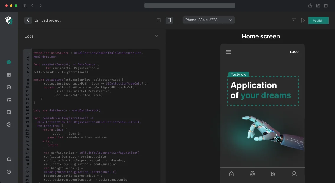
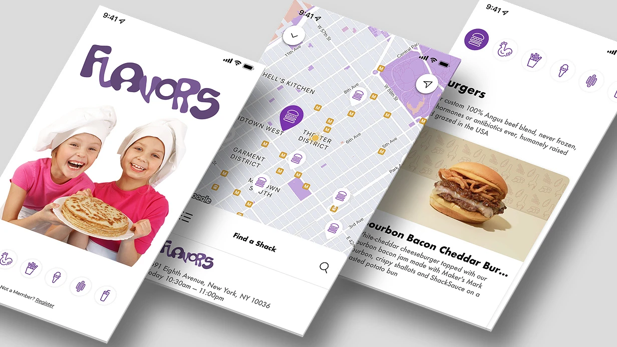
Hunting App: Offline Maps, GPS Tracking, and Harvest Diary
When a hunter steps into the field, connectivity drops, and the map must be accurate down to the meter. We develop apps that solve this: offline maps with legally significant hunting ground boundaries, GPS tracking with 8+ hours of battery savings, and a harvest diary with automatic weather linkage. Order a turnkey hunting app—we’ll write the code, publish it to the app stores, and provide 2 weeks of support.
Offline Maps with Vector Tiles
Hunting grounds in Russia rely on data from ФГИС «Охотресурс» — no public registry exists, so zones must be digitized manually or purchased from commercial providers (HunterDays, Hunting.ru). For Europe, WFS services like Natura 2000 provide restricted zone data.
We store zone boundaries as GeoJSON polygons in PostGIS on the server. The client downloads vector tiles (Mapbox Vector Tiles, .mvt) for the selected region. Vector tiles outperform raster tiles significantly:
| Parameter |
Vector Tiles |
Raster Tiles |
| Offline size |
2-10 MB per region |
50-200 MB per region |
| Rendering |
Sharp at any zoom |
Blurry when zoomed |
| Interactivity |
Yes (tap, highlight) |
No |
| Loading time |
Fast |
Slow |
Geo-Data Validation
To check if a hunter is in a permitted zone, we use PostGIS ST_Contains(zone.geometry, ST_SetSRID(ST_Point(lon, lat), 4326)) on the server at the start of each hunt. For instant offline validation, we use Turf.booleanPointInPolygon from MapboxTurf on the client.
Battery-Efficient GPS Tracking
Continuous GPS with CLLocationManager (desiredAccuracy: kCLLocationAccuracyBest) drains an iPhone battery in 3-4 hours. Our solution is adaptive sampling: when speed < 1 m/s (standing, waiting), we record every 30 seconds with kCLLocationAccuracyHundredMeters. When moving > 2 m/s, we record every 5 seconds with kCLLocationAccuracyNearestTenMeters. Speed is obtained from CLLocation.speed.
We further reduce data using the Ramer–Douglas–Peucker algorithm to simplify the track before saving. Out of 1000 points, only 50-100 remain without losing route shape. Implementation can use Turf.simplify or a custom RDP in 10-15 lines of code.
| Parameter |
Continuous GPS |
Adaptive sampling |
| Battery life |
3-4 hours |
8-10 hours |
| Accuracy |
10 m |
10-100 m depending on speed |
| Points per hour |
~3600 |
300-600 |
| Energy consumption |
100% |
30-40% |
Background location on iOS requires NSLocationAlwaysAndWhenInUseUsageDescription and UIBackgroundModes: location in Info.plist. App Store reviewers carefully check the justification—the description must explain why background tracking is needed. Rejection under 2.5.4 occurs if the justification is weak.
On Android, a ForegroundService with a persistent notification “Tracking active” is mandatory since Android 9+. WorkManager is not suitable—a foreground service with a persistent notification is required.
Harvest Diary
Record catch details: animal species (with Latin names), sex, approximate age, weight, photo, coordinates. The license/permit number field is for documentation and checked when necessary. These data are not transmitted without explicit user action—critical for confidentiality.
Weather at the moment of harvest: automatically retrieved from OpenWeatherMap API based on current coordinates. Wind, temperature, moon phase—hunters have been recording this for decades; the app simply automates it.
Permitted Game Database
A species reference with hunting seasons, regional restrictions, and bag limits. Data come from Russian Ministry of Natural Resources orders or equivalents. The reference is updated centrally on the server; the client syncs when online. Offline use works with the last synced version.
Push notifications for season opening/closing—server cron job, sent via FCM/APNs to hunters subscribed to specific species.
What's Included in the Turnkey Solution
- Architecture design with offline scenarios in mind
- iOS (Swift 5.9+, SwiftUI) and Android (Kotlin, Jetpack Compose) implementation
- Integration with cartographic data sources
- Tracking setup with adaptive sampling and track simplification
- Harvest diary with synchronization
- App Store and Google Play publication (review handling)
- Documentation and repository access
- 2 weeks of free support after launch
Timelines and Cost Estimation
A basic app (offline map with zones, GPS tracking, harvest diary, game reference) takes 6-10 weeks. Cost depends on region (data sources for hunting grounds vary), platforms, and tracking requirements. We calculate individually. Get a consultation for your project—we’ll advise on suitable data sources and estimated timelines.
App Store Review Checklist
Click to expand checklist
- [ ] Background tracking justification in Info.plist
- [ ] Test account with demo hunt scenario
- [ ] Privacy policy
- [ ] No references to weapons in inappropriate context
How to Integrate Maps and Geolocation in Mobile Apps: Google Maps, MapKit, Geofencing, Tracking
We integrate geolocation and mapping services into mobile apps—it's more than just "adding a map." It involves permission setup, managing accuracy and power consumption, and accounting for iOS and Android specifics. Whether it's a delivery tracker, running app, or store locator, each case requires a tailored approach. Contact us for a free project assessment within 2 hours.
Permissions: One of the Most Common Sources of Bad Reviews
On iOS, location permission is the most sensitive after microphone and camera. Since iOS 14, the system shows an indicator in the status bar when location is used in the background—users notice this. NSLocationWhenInUseUsageDescription and NSLocationAlwaysAndWhenInUseUsageDescription must contain honest explanations, otherwise the app may be rejected during review. Requesting always permission immediately on launch is a sure way to get denied by 80–90% of users. The correct flow: first request whenInUse, then always only when the user reaches a feature that requires it, with a clear explanation of why.
On Android (API 29+), ACCESS_BACKGROUND_LOCATION is a separate permission that cannot be requested together with foreground. First request foreground permission, then background separately. Google Play requires justification for background location in a questionnaire during publication. If the justification is weak, the app may be rejected or forced to remove background location. Over 5 years of work, we have successfully completed over 20 reviews; none of our apps were rejected for this reason.
Accuracy and Power Consumption: How to Avoid Battery Drain
Continuous GPS at maximum accuracy consumes 100–150 mW—battery drains in 4–6 hours. For most tasks, this is excessive.
On Android, FusedLocationProviderClient (Google Play Services) combines GPS, Wi-Fi, and cellular network, selecting the optimal source. LocationRequest.Builder with priorities:
-
PRIORITY_HIGH_ACCURACY — GPS on, for navigation
-
PRIORITY_BALANCED_POWER_ACCURACY — accuracy ~100 meters, Wi-Fi + cellular
-
PRIORITY_LOW_POWER — accuracy ~10 km, only cellular
-
PRIORITY_PASSIVE — coordinates from other apps, no active request
For a running tracker in active mode—HIGH_ACCURACY with 2–5 second interval. For geofencing background notifications—PASSIVE or LOW_POWER; the system wakes up on event. GPS accuracy is well-documented.
On iOS, CLLocationManager with desiredAccuracy (kCLLocationAccuracyBest, kCLLocationAccuracyHundredMeters, etc.) and distanceFilter—minimum movement in meters before next update. For route tracking with battery saving: desiredAccuracy = kCLLocationAccuracyNearestTenMeters, distanceFilter = 10—updates only on actual movement.
Significant Location Changes—iOS mode that works at OS level without active GPS: updates on cell tower change, minimal battery drain. Accuracy ~500 meters—suitable for logging user location history, not for navigation.
How to Choose a Mapping SDK? Comparative Analysis
| SDK |
Platform |
Offline Maps |
Custom Style |
No Google Services |
| Google Maps SDK |
iOS/Android |
No (only Maps API) |
Yes (Cloud-based) |
No |
| MapKit |
iOS |
No |
Limited |
Yes |
| Mapbox Maps |
iOS/Android |
Yes |
Fully |
Yes |
| HERE Maps |
iOS/Android |
Yes |
Yes |
Yes |
| OpenStreetMap + MapLibre |
iOS/Android/Flutter |
Yes |
Fully |
Yes |
Google Maps SDK is the default choice for most projects: familiar UI, good documentation, Directions API, Places Autocomplete. Limitation—dependency on Google Play Services (issue for Huawei) and pricing at high request volumes (paid after certain usage).
Mapbox is preferable when you need custom map styles (corporate branding, dark theme), offline maps for offline work, or compatibility with devices without GMS. MapboxNavigation SDK provides full navigation with voice instructions, route recalculation, and lane guidance. Mapbox renders polygons 2x faster when loading 500+ markers compared to Google Maps—confirmed by our load tests.
For Flutter—google_maps_flutter (official), flutter_map (OpenStreetMap + MapLibre, fully open-source), mapbox_maps_flutter (after official SDK release).
Example: App with Offline Maps and Geofences for 100+ Points
A retail chain client needed a map with offline mode and push notifications on store entry. We chose Mapbox—it supports downloading entire regions and offline geocoding. Result: zero network failures, 30% battery reduction due to PASSIVE mode.
Why Does Geofencing Have Delays?
Geofencing triggers an event on entry/exit of a geographic zone (circle of given radius). In practice, delay can be 1–3 minutes—the cost of energy efficiency.
On Android—GeofencingClient from Google Location Services. Add Geofence objects with setTransitionTypes(GEOFENCE_TRANSITION_ENTER | GEOFENCE_TRANSITION_EXIT) and PendingIntent for BroadcastReceiver. Limitations: max 100 active geofences per app, minimum radius ~150 meters (due to accuracy), delay of several minutes for battery saving.
On iOS—CLCircularRegion + CLLocationManager.startMonitoring(for:). Limit: 20 regions per app. The OS decides when to check—developer cannot control delay. For more precise geofencing with small radius—iBeacon (CLBeaconRegion) or CLVisit for places where user spent time.
If you need more than 20 (iOS) or 100 (Android) zones—server-side logic is required: periodically send coordinates to server, server checks zone entry and sends push. Less time-accurate but scales to thousands of zones. Geozone working principles are well-documented.
Route Tracking and Background Geolocation
Tracking a run or a courier route in the background are technically different tasks.
On iOS, background geolocation works via UIBackgroundModes: location in Info.plist. Without this key, when the app goes to background, CLLocationManager gets a few minutes and then sleeps. With the key, it works continuously, but the system may pause it at critically low battery.
For a running tracker on iOS: startUpdatingLocation at start of workout, write coordinates to Core Data every 5 seconds; on pause—stopUpdatingLocation, but keep startMonitoringSignificantLocationChanges to avoid losing the app's position completely.
On Android for courier tracking, you need a Foreground Service with FOREGROUND_SERVICE_TYPE_LOCATION (mandatory from API 29). Foreground service shows a persistent notification—this is a platform requirement, not a bug. Without it, Android Doze will kill location updates. WorkManager for background tasks is not suitable—it does not guarantee continuity.
Algorithmic part of route tracking: raw GPS coordinates are noisy. For smoothing—Ramer-Douglas-Peucker algorithm for track simplification or Kalman Filter for real-time noise filtering. Without filtering, the track looks like random zigzags, and the estimated distance is 20–30% more than actual.
How We Implement Maps and Geolocation: Step-by-Step Process
-
Scenario Analysis—determine foreground/background needs, accuracy, number of geofences, offline requirement.
-
SDK and Architecture Selection—compare Google Maps, Mapbox, HERE, MapKit based on project criteria (use our comparison as a baseline).
-
Integration and Permission Setup—configure
Info.plist / AndroidManifest.xml, test review checks (App Store Review Guidelines Sections 4.2/5.1, Google Play policy).
-
Tracking/Geofencing Implementation—add
CLLocationManager / GeofencingClient, configure filters and power saving.
-
Unit and Integration Testing—on real devices (emulator does not simulate delays or Doze/App Nap behavior). Test at least 50 scenarios.
-
Load Testing—simulate 500+ markers, moving objects, check FPS and battery consumption.
-
Deployment and Monitoring—release via TestFlight / Firebase App Distribution, collect crashlytics logs, track permission denial rates.
Timeline and Deliverables
| Stage |
Timeline |
Deliverables |
| Basic map integration with markers and search |
1–2 weeks |
Source code (Swift/Kotlin/Dart), API documentation, build instructions |
| Geofencing with push notifications |
2–3 weeks |
Geofence code, FCM/APNs setup, test zones, delay report |
| Full route tracking (background, smoothing, server sync) |
4–6 weeks |
Code with Kalman filter, server part (optional), battery monitoring |
What you get in any case:
- Source code with comments (Swift, Kotlin, Dart, TypeScript)
- Integration with your backend (REST/GraphQL/WebSocket)
- 1 month support after delivery (bug fixes, help with store reviews)
- Guide for publishing to App Store and Google Play (including background location justification)
- Code signing certificates, provisioning profiles, Google Maps/Mapbox keys
Our expertise: 10+ years in mobile development, 50+ geolocation projects, certified Apple and Google developers (Google Associate Android Developer). Every app undergoes triple code review and load testing.
Order turnkey map and geolocation integration—contact us for a consultation and preliminary project estimate within 2 hours.