

Confusing Station Transitions Scare Away Passengers: How to Fix This?
Every day, thousands of passengers step off a train and immediately lose their bearings. Station transitions are laid out so that the direct route to the right platform, exit, or luggage storage hides behind turns, stairways, and long galleries.
A person with a suitcase running late for a connection doesn't study the map — they scan for a sign and hope they haven't made a mistake.
The result — lost passengers. They miss their trains, get stressed, create crowds in narrow spots, and leave negative reviews. For a station, this isn't just an inconvenience but a direct loss: throughput drops, the load on information desks grows, and the reputation suffers.
A passenger remembers not the architecture but their stress — and next time chooses a different route.
Standard signs and paper maps don't cut it. In a large space, it's hard to match a picture on the wall with what you see in front of you.
Mobile maps don't help either: they don't understand which level you're on and show a route "as the crow flies," ignoring transitions and stairways. A person looks at their phone, takes one wrong step — and hits a dead end.
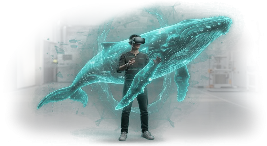
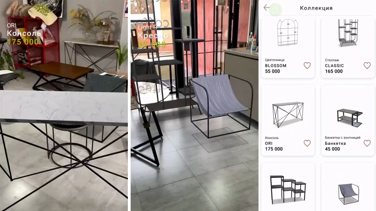
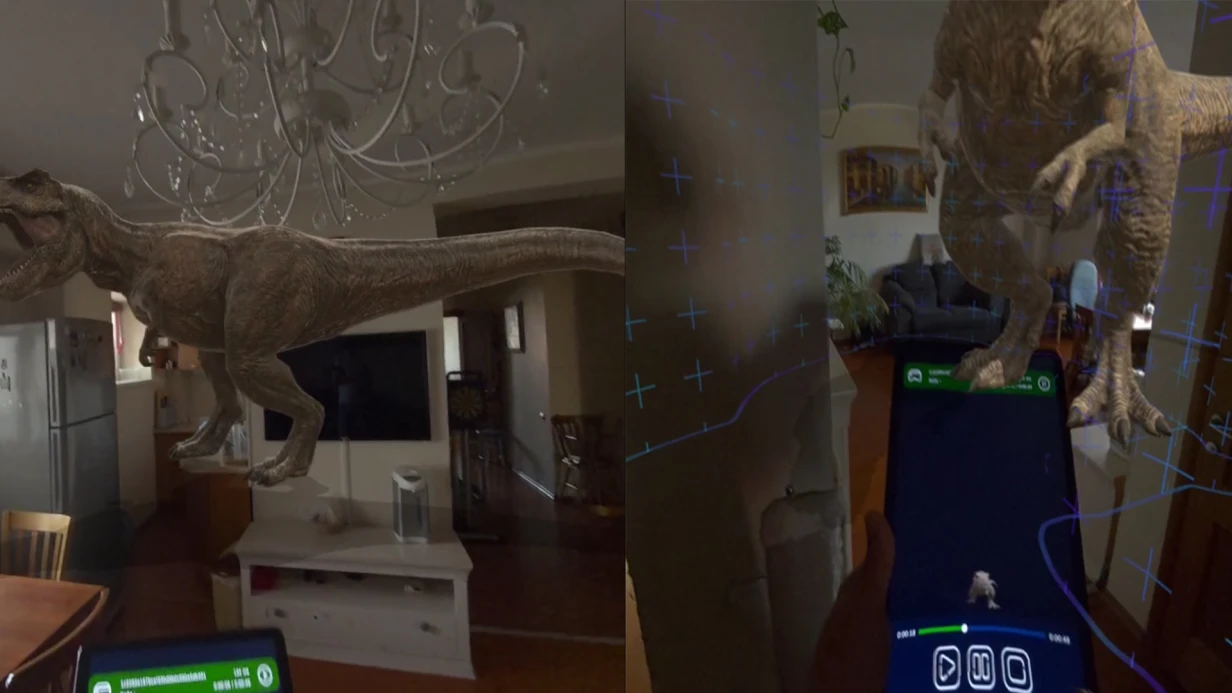
AR navigation solves exactly this problem. A passenger points their smartphone camera at the space — and sees an arrow, direction, and distance to the target right on top of the real image.
No memorizing routes or trying to decipher a map: the system guides the person step by step, accounting for transitions, levels, and entrances. The destination is always visible, even if the route is complex.
This is exactly the kind of navigation we are developing for stations. We handle everything: from the indoor map to an interface that any passenger of any age can understand.
You don't need to understand the technology — just tell us which points should be on the routes, and we turn confusing transitions into a simple path.
Benefits of AR Navigation for a Station: Less Stress for Passengers
A passenger at a station is already under stress: luggage, schedules, crowds, an unfamiliar building. If they lose their way — add missed trains, panic, and extra questions to staff. For management, that means overloaded information desks, queues, and the risk of missed boarding.
AR navigation turns a passenger's phone into a clear guide: the route appears right on top of the camera feed, so a person walks to the right platform without searching or hesitation. Below — what this gives the station.
Benefit: Less stress for passengers
Passengers no longer need to squint at signs and maps: point the phone — see the route to the ticket office, departures board, platform, or exit. This reduces anxiety, speeds up boarding, and makes the trip comfortable from the moment they step through the door.
The load on the information desk drops: passengers find their own way, and staff handle only genuinely complex questions.
Benefit: Steady passenger flow
When everyone has a clear route, people stop gathering in the same zones. AR prompts distribute the flow across entrances, ticket offices, and transitions, easing crowding during peak hours.
The station handles peak loads without bottlenecks, even when several trains arrive at once. Boarding and alighting speed up, and throughput grows without expanding the building.
Benefit: Greater safety
Clear navigation is also about safety. Fewer chaotic movements and clusters, lower risk of crowding in narrow areas. In emergency situations, AR prompts quickly direct people to the nearest exit and help clear the building.
Benefit: Modern image and recognition
A station that cares about its passengers is remembered. An unusual navigation solution gets photographed and shared on social media — that's free reach and a positive association with the place. The technology sets the station apart from other transport hubs and attracts new visitors.
Our team delivers AR navigation turnkey: from site survey to launch and support. Contact us — let's discuss how to make your station more comfortable for passengers.
AR Navigation Formats: From App to AR Markers
Passengers at a station waste time looking for the exit, ticket office, or the right platform — while the information desk is overloaded with the same questions. AR navigation shows the route on top of the real image, so a person doesn't need to read a map.
To choose the right implementation, let's compare three formats: a mobile app, QR codes, and AR markers.
Format Comparison
Let's look at how the formats differ and who they suit.
| Format | Who it's for | What it gives the client |
|---|---|---|
| Mobile app | Frequent travelers | Navigation across the entire station, finding cafés and ticket offices, reducing load on the information desk |
| QR codes | One-time visitors | Navigation without installation: point camera at the code — get the route |
| AR markers | Passengers in high-traffic zones | Signs on walls and floors, passengers orient faster |
How to choose a format
If the station wants repeat use of navigation — an app is the way to go. If you need to help every visitor immediately — QR codes. If only complex intersections matter — AR markers.
We often combine all three: a QR code for quick entry, AR markers for key points, and an app for full navigation.
As a result, passengers find their way faster and ask the information desk less often, and the station looks tech-savvy. We'll help you choose the AR format for your station's needs, design the scenarios, and launch navigation turnkey.
How the Project Progresses: From Brief to Launch and Support
We understand: clients are wary of the opacity of development — "what are you doing over there and when will it end?" That's why the process is built as an open system with checkpoints.
Our team has run dozens of such projects over 10 years and refined 7 clear stages — from the first brief to support. Below — exactly what happens at each step and when you see results.
-
Brief and immersion into the task. We meet online or on site, discuss how people currently navigate the station, where bottlenecks occur, and which zones need to be "highlighted." The output — a technical specification you approve.
-
Site audit and navigation scenario. We study the layout, entry-exit points, ticket offices, waiting halls. Together with you, we define key routes: from the entrance to the right platform or to luggage storage.
-
Interface prototype and approval. We design a mockup: what the smartphone screen will look like, where the camera points, and what prompts the passenger sees. You see the picture before development starts and can make changes right away.
-
App build and internal testing. Programmers assemble the version, engineers go to the station with professional equipment, and check aiming accuracy and operation at different times of day. We fix errors before the app ever reaches a user.
-
Pilot launch with real people. We invite 3–5 volunteers — passengers with different levels of experience. We watch how they complete the route, where they hesitate, and refine the scenario based on their reactions.
-
Launch and staff training. We publish the app in stores, place QR codes at kiosks and platforms. We run a short instruction session for station employees so they can show passengers how to use it.
-
Support and development. We monitor transition statistics, update maps when infrastructure changes, and answer passenger questions. You can order new routes or additional navigation points at any time.
In the end, you get a manageable process: every stage ends with approval, you see the budget and timeline in advance, and the launch doesn't turn into a surprise. This removes the main fear of any manager — the unknown.
What's Included in Delivery: Navigation Kit for the Site
Every client wants to understand exactly what they get and when navigation will start working. That's why we put together a turnkey package — from marking points on site to staff training.
You don't need to find contractors separately: everything required to launch AR navigation at a station is already included in the delivery.
- Site survey and marker placement plan. An engineer comes to the station, studies passenger flows, waiting areas, ticket offices, exits, and entrances. Based on this, we prepare a layout where AR markers will be visible and won't obstruct movement.
- Set of AR markers and mounting equipment. The delivery includes the markers themselves, fasteners, and protective elements. Everything is adapted to the station's interior and requires no special maintenance. Markers last for years and don't fade from light or constant foot traffic.
- AR navigation configured for your building. We load the station layout, link routes to platforms, luggage storage, information desks, and other key points. The user points their phone — and sees arrows right on top of the camera feed. No confusing signs or "turn right at the second pillar."
- Installation and commissioning on site. Our team handles the mounting, checks recognition in different corners of the building, and calibrates accuracy. You get a working system within the agreed timeline — without schedule slips and without your involvement in technical details.
- Station staff training. We run a short session for administrators, security, and ticket clerks: how to help a passenger, what to do in case of a failure, how to restart the app. Staff feel confident, and passengers get guidance anywhere in the building.
- Support and updates after launch. Navigation works around the clock, so we stay in touch: we monitor stability, update routes when the layout changes, and quickly resolve any failures. The warranty period and support terms are spelled out in the contract — you know who to contact.
In the end, you get not just an "app with a map" but a complete navigation service that reduces the load on the information desk and helps passengers find their way faster.
The delivery package is designed so that navigation starts working the same day after installation and requires no special knowledge from your team.
Real Case Study: Passengers Find Their Way Without Staff Assistance
For a major station with a passenger flow of over 90,000 people per day, we developed an AR navigation system. our team handled the entire cycle: from flow audit to launching the mobile assistant.
Previously, passengers spent an average of 12 minutes finding their platform, often missed their trains, and constantly asked staff for help — creating queues at information kiosks.
After the AR navigation launch, wayfinding time dropped to 2 minutes. 83% of passengers stopped asking for directions — they simply pointed their smartphone cameras at signs and followed the arrows.
During peak hours, the system handled up to 1,500 concurrent users without delays. Station staff shifted their focus to helping elderly people and passengers with limited mobility, which immediately improved service quality.
The result for the client — four out of five passengers said their trip started easier and calmer. The number of missed trains fell by nearly three times, and the load on the information desk dropped by 70%.
The station gained a tool that paid for itself within one transport season and ordered the next phase — navigation for suburban terminals.
Such navigation works not only at stations: it suits shopping malls, airports, and sports arenas. What's more, the client gets not just an app — but data on how visitors move, where they linger, and how infrastructure can be improved.
What to Do If Standard Schemes Don't Fit Your Facility?
Stations with non-standard layouts are always a challenge for navigation: multi-level transitions, zones closed for renovation, historic buildings with non-obvious entrances, and passenger flows that intersect during peak hours.
Standard schemes aren't just useless here — they create chaos: people get lost, miss trains, approach staff with the same questions, and the station's brand looks unwelcoming. The bottom line — the key business metric of passenger satisfaction and movement speed suffers.
The right answer is not to force your facility into a template, but to design navigation around your layout. We start with a site survey: study real routes, measure flow at different times of day, account for architectural features and constraints.
Based on this data, we build a custom navigation model that works in your specific conditions — not some abstract "average across the board."
The choice of format also stays with you: fixed signs, interactive kiosks, AR navigation through a mobile app, or a combination of solutions. At every stage, we show how each option will fit into the interior, where it's best placed, and how it will behave under peak loads.
You see the result before launch, not after — making it easier to approve the budget and avoid surprises.
The key thing the client gets is navigation that actually guides a person from point A to point B without staff involvement. Passengers stop asking for directions, queues at the information desk shrink, and the station is perceived as a modern, well-thought-out facility.
Additionally, such a project strengthens the image: visitors see that you care about their comfort and are more willing to come back.
Tell us about your facility — even if the layout seems hopeless, we'll find a solution. We'll send examples of similar projects and propose an option that fits you.
Frequently Asked Questions and Guarantees: What If Navigation Fails?
We understand: for a station, the cost of a navigation error is missed trains, lost meetings, and irritated visitors.
That's why, even before launch, we build in several layers of protection: we test scenarios on real passenger flows, set up backup routes, and leave room for quick adjustments right on site. Below — answers to the questions most often asked before signing a contract.
What if navigation doesn't work for a particular visitor?
It will work, because we design the system "for the average person": large prompts, simple wording, and duplication of key points.
If a failure does occur — the visitor presses the "Help" button, and an alternative route appears on screen, or a station operator gets a signal and contacts the guest. We build this scenario in at the design stage to eliminate any "dead end" situation.
How is navigation accuracy ensured inside the station building?
We use professional equipment and a server architecture that collects data from dozens of points simultaneously. This provides stable positioning even in areas with heavy foot traffic and active train movement.
Before launch, we run control walkthroughs on all routes, and the system self-learns during operation: the longer it's used, the more accurate the prompts.
Who will maintain the navigation after launch?
We support the project: update content, monitor equipment operation, and respond to requests within one business day. If the station changes the location of ticket offices, exits, or temporary zones — just send a request, and we'll update the routes without stopping navigation. The service contract includes both scheduled inspections and emergency support.
What guarantees do you provide?
We guarantee stable operation of key navigation functions for the entire duration of the contract. The contract specifies incident response times, the frequency of preventive maintenance, and the terms for equipment replacement in case of failure.
If a route doesn't match the station's actual layout, we fix it free of charge within the warranty period.
Still have doubts? Tell us about your task — we'll show how navigation will fit into the station's architecture and which stages have already been proven on similar facilities.Order AR Navigation: Get a Route That Works
You've already seen how passengers get lost at a station: searching for the right platform, asking staff, missing their trains.
AR navigation solves this problem right on the smartphone screen: arrows on top of the real floor, clear prompts — a person sees the route and walks confidently to their destination.
This reduces the load on the information desk, speeds up the flow, and creates the impression of a modern, caring station.
We take on the entire process: from brief to launch. Leave a request — and on the very first call we'll analyze your situation, propose the optimal solution, and name exact timelines.
What you get after submitting a request
- Free consultation. We'll tell you where AR navigation is truly needed and where classic signs are enough — honestly, without padding the budget.
- Cost calculated within one day. We'll name the final price and timeline before the contract is signed — no hidden fees or "surprises" along the way.
- Route prototype before development. We'll show what the navigation will look like in your station's interior — you approve the picture, and only then do we write the code.
- Turnkey launch. We'll install the equipment and software ourselves, test all scenarios, train the staff — all you have to do is open the doors for passengers.
- Measurable result. After launch, we'll show how the passenger flow and wayfinding time changed — in numbers, not words.
- Support guarantee. We stay in touch: update routes, add new points, and quickly resolve any issues within a year.
Write to us — during working hours we'll respond within an hour. We'll discuss your station, find a solution, and provide a cost estimate. Within just a few weeks, your passengers will be finding their way without help and without delays.