

Geodesy without extra business trips: how VR/AR accelerates field work
Every business trip to a site means lost days: travel, approvals, repeat visits due to inaccuracies. Specialists spend time on the road instead of doing actual measurements, and an error in field data triggers a new work cycle and missed deadlines.
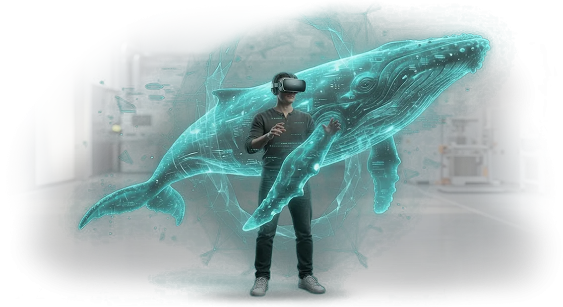
VR and AR change this dynamic. The specialist sees a digital model of the site layered directly over real survey data, checks coordinates on the spot, and immediately records discrepancies — without unnecessary iterations.
Meanwhile, colleagues back at the office watch the process in real time and jump in when expertise is needed.
The business result is fewer trips and faster project delivery.
We build applications where field work follows the principle of "one visit — a complete data set." The manager stops being hostage to logistics: site visits are reduced, and some tasks are closed entirely remotely.
We work with professional equipment and proven tools, so the client gets a stable result, not a test demo. Field work speeds up many times over, the team tires less, and the project is delivered without fire drills or surprise edits.
What you get from implementing VR/AR on your sites
Implementing VR/AR in geodesy stops being "technology for technology's sake" — it directly accelerates approvals and reduces the risk of errors.
Instead of flat drawings and abstract coordinates, you get a three-dimensional picture of the site that is visible immediately, even before work begins. This addresses the biggest pain point: expensive revisions at late stages.
Project visualization is the first and most tangible benefit. The client sees the future site at 1:1 scale, walks around it, and evaluates the layout and its fit into the landscape.
They don't need to read profiles or understand elevation marks — they simply look and make a decision. For you, that means fast approvals and fewer iterations; for the client, it means confidence they will get exactly what they approved.
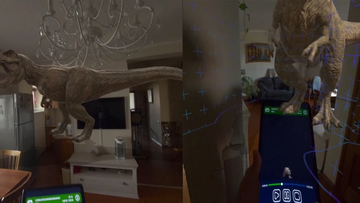
The benefits of AR for business also show up in field work. The specialist sees underground utilities, property boundaries, and design elevations directly over the real terrain.
This reduces the number of site visits, accelerates staking out points on the ground, and almost eliminates discrepancies between the crew and the office. Data from a single model becomes a common language for everyone.
Employee training deserves special mention. A newcomer masters equipment and documentation in a safe virtual environment, with no risk to hardware or deadlines. This shortens the onboarding period many times over — and ultimately saves company resources.
Finally, client presentations become a strong competitive advantage. You don't recite numbers — you show the result, even at the tender or pre-design stage. The client remembers this approach and comes back to you again. This is exactly the kind of tool that sets you apart from contractors who still work the old way.
VR/AR/MR project formats for geodesy tasks
Visualization formats in geodesy stopped being just "a pretty picture for the report" long ago.
Today they are a working tool that solves specific problems: shorten approval time, eliminate errors when transferring data to the construction site, and show the client the result before money is invested in actual work.
AR and VR turn survey results into an interactive three-dimensional model — and that is what changes the speed of decision-making.
We have compiled the standard formats we use in geodesy projects. In every case, it is a solution for a specific business task, not just technology for technology's sake.
| Format | For whom / what task | What it gives the client |
|---|---|---|
| Interactive 3D twin of the site | For aligning projects with clients and contractors | All parties see the site in detail before work begins; issues are resolved in a single meeting instead of a series of site visits. |
| AR geodesy (overlay on reality) | For field control of construction work | The engineer sees the design model directly on location through a tablet or a device like Apple Vision Pro. Discrepancies from actual conditions are visible instantly — errors are fixed on the spot rather than discovered after project handover. |
| VR staff training | For briefings and practicing work with equipment | Employees practice actions in a safe virtual scene. This reduces the risk of errors on the real site and accelerates onboarding for new hires. |
The choice of format depends on where the pain point is: at the negotiation stage, when transferring the project to reality, or when supervising people. Either way, the result is one clear digital tool — from a presentation model to a working AR system.
More than half of our clients come in for "just visualization," and a couple of weeks later they are using the same model for field control and training. A properly structured VR/AR/MR format pays for itself more than once.
How we build a project: 7 steps to a finished application
So that you can control the process and see results at every stage, we have structured development as a transparent sequence of seven steps. You always know where the project stands and what comes next, and any disputes are resolved before work begins, not after.
- Brief and task immersion. We gather requirements and study how your specialists perform surveys and work with data. We identify where the application will automate routine tasks and speed up the workflow.
- Design and development plan. We define functionality, timelines, and control points. We align on the plan — you see the scope of work, stages, and deliverables in advance.
- Prototype and interface mockup. We show what the screens and controls will look like in the application. You see the interface logic before implementation and make edits — the mockup is approved without unnecessary rework.
- Application development. We build the application for Vision Pro and integrate your geodesy formats and data. We work with professional equipment and verified tools — this guarantees stability and accuracy.
- Testing and refinement. We test the application on real scenarios: opening survey files, navigating 3D models, taking measurements. We fix issues and fine-tune details with your specialists.
- Launch and deployment. We install the application, configure it for your task, and train your employees. We provide clear instructions so the team can get started quickly.
- Technical support. After launch, we stay in touch: we update the application, add new features, and help with questions. Support is included in the service package — you are never left alone with the product.
A transparent process and control at every step is how we meet deadlines and deliver an application that genuinely works in your geodesy practice.
What is included in delivery: a complete package for launch and growth
When you order application development for Apple Vision Pro for geodesy tasks, you get more than just a program — you get a tool that is ready to work. We structure the delivery package so your team starts using the solution from day one, not after weeks of figuring it out.
Here is what the package includes:
- A ready-to-use application — fully configured for your processes, with geodata visualization and the features you need for field work and office processing.
- Clear documentation — instructions for launch, setup, standard operations, and handling common situations. No unnecessary technical depth: any employee can get through it in an evening.
- Employee training — we run hands-on sessions for your specialists: from working with visionOS gestures and windows to loading and verifying data. After training, the team confidently uses the application in the field.
- Source materials — you receive the project source files and access to them. This is your property: you are not dependent on us and can develop the solution with your own team or with contractors.
- Post-launch support — we assign support for the first few months: we answer questions, help adapt to new tasks, and promptly fix any issues. We continue working with you as your projects grow.
We don't abandon the client after handing over the code. The delivery package is designed so measurable value appears quickly: your specialists spend less time on site inspections, process measurements faster, and make fewer repeat survey trips.
And if further development is needed — you already have a trained team and clean source code for the next stage.
Case study: how Apple Vision Pro accelerated field surveys
Field surveys mean dozens of site visits, manual measurements, and lengthy office processing. Any mistake in the field turns into another trip, missed deadlines, and extra costs.
The client — the surveying department of a construction company — was facing up to four days per site, with some data needing to be rechecked by hand.
We proposed implementing Apple Vision Pro for spatial analysis and survey visualization. Instead of collecting data point by point, specialists gained the ability to see the digital terrain model right on location, compare it against the plan, and immediately spot discrepancies.
This is not a replacement for classic survey instruments — it is an acceleration of the most expensive stage: decision-making in the field.
Implementation results
In the pilot project — a plot for residential development — field work time dropped from three days to one. Instead of four site visits, the crew made two, and the office processing stage was almost entirely eliminated.
The client received not just data but a finished visual model that could be shown to designers and the construction client without additional explanation.
The key outcome: the number of errors that used to surface only at the construction site dropped significantly. Control point accuracy stayed within specification, but processing speed doubled.
After the pilot, the company expanded the technology to all new sites and reduced its field crew headcount by a third while maintaining the same workload.
We are now adapting this approach to other tasks: construction monitoring, deviation control, and preparation of as-built documentation. If the main resource in your surveys is crew time on site, let's discuss where acceleration will have the greatest impact.
How to choose the right format for your geodesy task?
When choosing a format in geodesy, it is better to start not with technology but with the question: what result does the client need, and who will use the application?
If the task is to show the site on location before work begins, a lightweight AR visualization with coordinate anchoring is enough.
If you need to record deviations, conduct field measurements, or compare the project against actual conditions, you will need a full application with navigation and data collection tools.
The second criterion is working conditions. For office processing and client presentations, indoor solutions without heavy autonomy requirements work well.
For field crews, what matters is working on tablets and augmented reality headsets right at the site, with fast access to drawings and elevation marks. This drives development effort and therefore the project budget.
The third point is implementation scale. If the application is needed for one department or a pilot project, an AR format built on existing tools is the sensible choice: it launches faster and is easier to maintain.
When it comes to systematic work across multiple crews and integration with your accounting system, it is worth planning custom development around your processes — it pays off through reduced approval time and fewer data errors.
The core principle is not to overpay for features that will never be used. For our part, we analyze the task for free, offer two or three formats with estimated timelines and cost calculated after audit, and after you choose, we build a working prototype before full development.
That way you see the result before committing final investments and can adjust requirements without unnecessary expense.
Frequently asked questions and concerns before starting
Before a project starts, clients often have the same questions: what happens to the application after launch, who is responsible for equipment, and will everything keep working if something goes wrong.
These concerns are understandable — geodesy software is used in field conditions, and the speed and accuracy of work depend on its stability. Here is how we address these risks.
What happens if the equipment fails?
We don't hand over the task "on a wing and a prayer." The application ships with a clear support framework: if a failure occurs during work, you get priority support. The contract specifies response times and the process for replacing equipment if necessary.
While repairs or replacement are underway, we help keep the workflow going — for example, by providing a temporary solution so the crew doesn't stand idle.
What warranty comes with a geodesy application?
The warranty covers all agreed functions and usage scenarios described in the technical specification. If a feature doesn't work as aligned, we fix it free of charge within the warranty period.
The warranty is stated in the contract, so you know exactly what the contractor is responsible for and what obligations they take on.
What happens after launch? Will support ever end?
Work doesn't end at project handover. The base package includes post-launch support: we accompany the first field visits, advise employees, and respond quickly to questions.
If you wish, you can add a renewable contract for ongoing support — it gives you updates, priority responses, and long-term stability monitoring.
Contractor accountability, warranty obligations, and support are not optional extras — they are part of our work. You always know who is responsible for the result and can plan field seasons and crews with confidence, rather than guessing what tomorrow will bring.Shall we discuss your geodesy project? Leave a request
Tell us about your geodesy task — we'll show how augmented or virtual reality reduces field work time and cuts the number of errors at every stage.
The first consultation is free: we discuss the task without formalities, select an Apple Vision Pro use case, and answer the questions that matter specifically to you. After the conversation, you'll receive a project estimate — timelines, scope of work, and clear next steps.
Such a conversation saves weeks of searching for a contractor and protects you from costly mistakes in format selection. We listen to the task, show real experience, and only then propose a solution — not the other way around.
What you get after submitting a request:
- Priority review of your geodesy task with a our team specialist — no generic talk or technical fog.
- VR/AR consultation: whether the format fits your site, facility, or process, and what results to expect.
- Assessment of Apple Vision Pro's potential for your field and office staff — where the technology will save hours and where it isn't needed yet.
- A preliminary project estimate: stages, timelines, team, and what will be required from you to get started.
- Examples from geodesy and related tasks so you can see real scenarios before development begins.
- A clear action plan with concrete steps and a point where you'll see the first result.
Leave a request using the form below — we'll respond within one business day. We'll discuss the task, walk through possible scenarios, and leave the decision to you: no pressure, no unnecessary details. Submitting a request is non-binding — you get value first, and then you make your decision.